About this project
The City is planning to improve Oxford Street West from Westdel Bourne to Sanatorium Road. The project will:
- Widen Oxford Street West from two lanes to four lanes, increasing the road's capacity
- Modify the intersections to improve operations and accessibility
- Introduce cycle tracks, sidewalks and multi-use paths for improved walking and cycling access
The project will be set into two phases:
- First phase: Westdel Bourne to Commissioners Road East in 2027
- Second phase: Commissioners Road East to Sanatorium Road in 2031
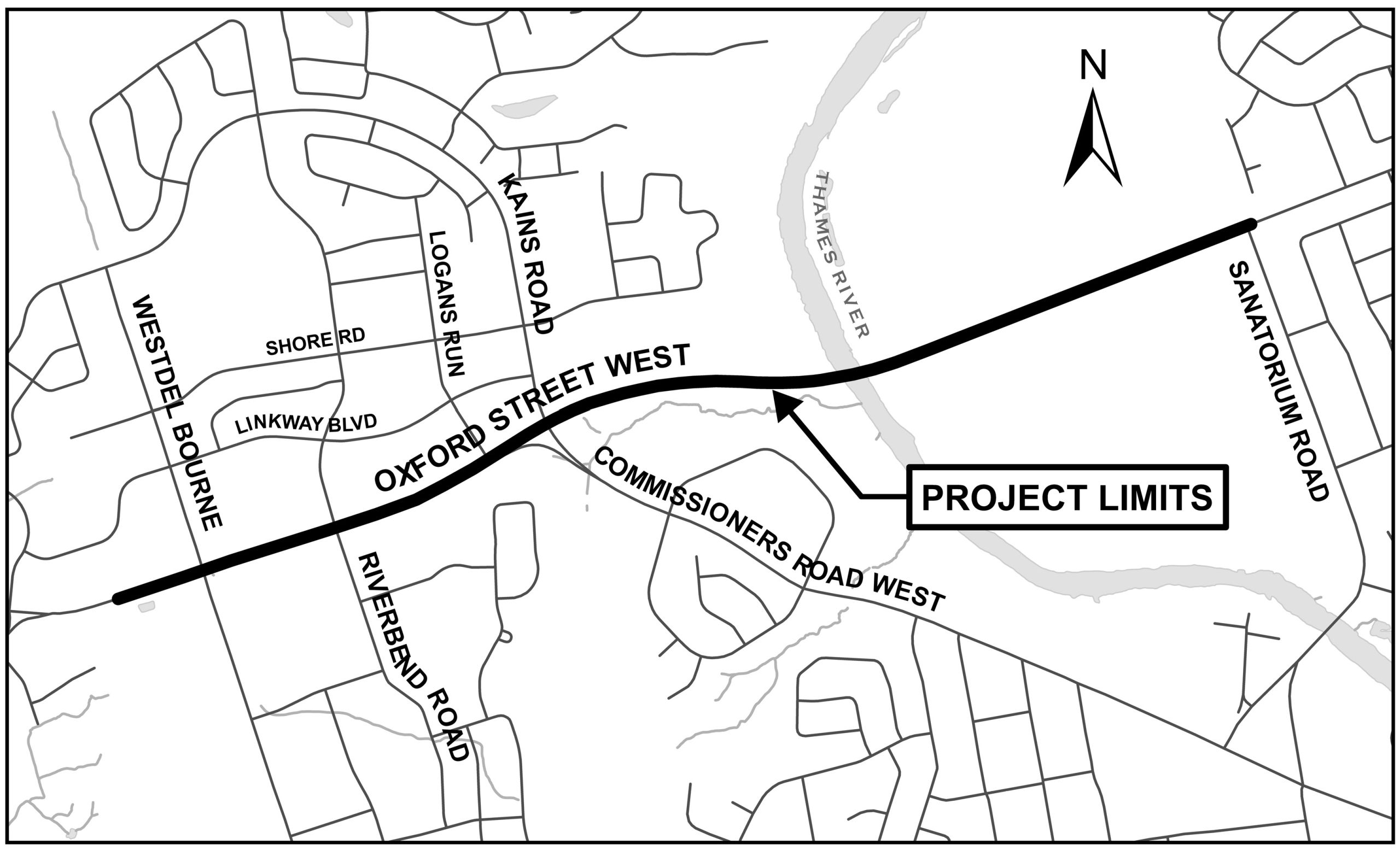
Above: A map of the project limits. The area includes Oxford Street West between Westdel Bourne to Sanatorium Road.
Public Update Meeting
More details will be added to this webpage soon about an upcoming Public Update Meeting.


