
Argyle Streetscape Master Plan
About this project
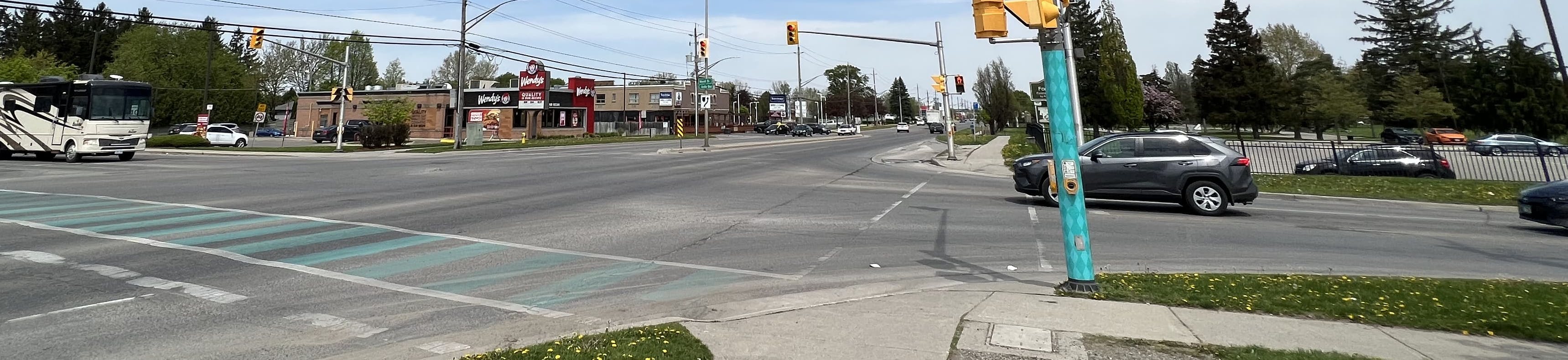
The Dundas Streetscape Master Plan is a key initiative under the Argyle Core Area Community Improvement Plan (CIP, 2021) for the Argyle Core Area. This comprehensive plan addresses the need for an enhanced public realm along the Dundas Street corridor between Highbury Avenue North and Wavell Street, focusing on improving neighbourhood safety, supporting businesses, improving mobility and connections, and reinforcing the identity of the Argyle community. By developing short, medium, and long-term strategies, the Dundas Streetscape Master Plan outlines a clear vision for the future of Dundas Street as a vibrant, multi-modal urban corridor.
The final Dundas Streetscape Master Plan is now available.

Above: This map shows the study limits for the Streetscape Master Plan along Dundas Street between Highbury Avenue North and just east of Wavell Street.
Vision
The vision for the Dundas Streetscape Master Plan will guide future development within the Dundas Street corridor in the Argyle Core Area. By 2040, Dundas Street will be:
- a safe place to walk, shop, spend time and invest in a home or business;
- a multi-modal urban corridor that accommodates healthy living for a diverse group of people and for all ages, physical and mental abilities, and mobility needs; and,
- inspires a strong sense of community through a comfortable pedestrian experience that fosters daily interactions along the street and community celebrations in public spaces.
Streetscape Typologies
To achieve this vision, the Dundas Streetscape Master Plan outlines three distinct streetscape typologies, each tailored to different sections of the Dundas Street corridor, and improved street intersections:
Streetscape Typology 1: Pedestrian-Oriented Improved Streetscape:
The Pedestrian Oriented Improved Streetscape corridor is generally applicable to the areas east of First Street extending west of Clarke Road, focusing on:
- Prioritizing pedestrian movement and public realm enhancements along the central section of Dundas Street;
- Maintaining five-lane road with a center two-way left-turn lane, and 1.8- to 2.0-metre-wide sidewalks on both sides;
- Including a 1.0 to 1.5 metre curb-side Furnishing Zone with waste/recycling bins, planters, and bike racks, and,
- Updating street and pedestrian lighting, and plant trees where space allows, avoiding utility conflicts.
Streetscape Typology 2: Transit Village Streetscape
The Transit Village Streetscape is in proximity to nearby part of the Rapid Transit Corridor and Transit Village Place Types as detailed in The London Plan and marks the entrance into the Argyle Core Area. This typology focuses on improving the pedestrian experience near future rapid transit stations, with the west entrance serving as a key gateway to the Argyle Core Area. Key design elements also include:
- 2.0 to 2.5 metre sidewalks with a Furnishing and/or Planting Zone on both sides of Dundas Street and a 1.0 to 1.5 metre sodded boulevard on the north side;
- Benches, waste/recycling bins, and street trees where feasible, coordinated with utilities, and,
- Updated pedestrian lighting and a center-raised median with decorative elements at the Argyle Core Area entrance.
Streetscape Typology 3 - Multi-Modal Improved Streetscape
The Multi-Modal Improved Streetscape is characterized by the integration of the proposed cycling routes as per The London Plan. A key feature of this typology is the 36-metre right-of-way (ROW), primarily located in the east corridor, east of Clarke Road, with some sections in the west corridor at the London Psychiatric Hospital Lands. The wider ROW allows for an expanded public realm, creating more opportunities to enhance the pedestrian experience and improve walkability. Some of the main features include:
- A 3.0 metre wide two-way protected cycle track on the south side of Dundas Street (Florence St. to Kiwanis Park) and the north side (Hale St. to LPH entrance);
- 2.0 to 3.0 metre wide sidewalks as part of the Pedestrian Clear Zone, and,
- Furnishing and/or Planting Zones between sidewalks and property lines, featuring benches, waste/recycling receptacles, and sodded boulevards (1.0 to 1.5 metres).
Streetscape Guidelines
The Dundas Streetscape Master Plan also provides streetscape guidelines for public realm enhancements, which includes the structures, materials, and design features within the public right-of-way.
To enhance the sense of place, distinctive "placemaking elements" like gateways, public art installations, and interpretive signage are strategically placed.
The streetscape guidelines section of the Dundas Streetscape Master Plan provides detailed guidance on integrating public realm elements for the Dundas Street corridor in the Argyle Core Area. It outlines comprehensive strategies for improving the pedestrian realm and place design, cycling facilities, transit facilities, motor vehicle design, green infrastructure, and utilities and municipal services.
Implementation
As future large-scale construction projects are scheduled to upgrade existing infrastructure and as redevelopment occurs in the Argyle Core Area, the recommendations identified in the Dundas Streetscape Master Plan will be considered to improve the streetscape and public realm.
Public Consultation
Three public update meetings were held in-person at the East Lions Community Centre where the public was invited to learn more about the project and have an opportunity to provide feedback on the final design concept and urban design guidelines. Presentation material is available on this webpage. The information presented at the previous public meeting from January 31, 2024 at East Lions Community Centre is included in the video below.
Public Meeting 1: Display Boards
Public Meeting 2: Display Boards
Public Meeting 3: Display Boards
